
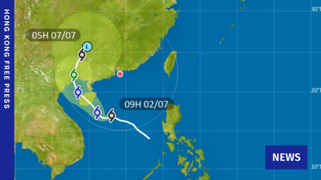
The Hong Kong Observatory (HKO) raised the T1 warning at 7:45 am on Thursday, as a tropical depression moved toward Hainan Island in China.
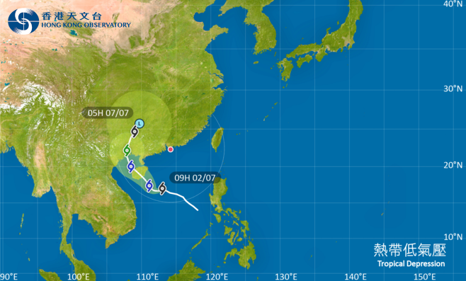
The HKO stated, 'Based on current predictions, the tropical depression is expected to strengthen slowly and head generally toward Hainan Island today, staying at least 500 kilometers away from Hong Kong.'
The tropical cyclone warning could be increased again on Friday, it stated: "Because of the impact of landforms, gusty winds might temporarily influence certain elevated areas. Considering changes in its strength, the range of its powerful winds relative to the Pearl River Delta, and regional weather conditions, the Observatory will evaluate whether to issue Warning Number 3 for strong winds tomorrow."
The meteorological department forecasts rainfall throughout the upcoming week, with conditions expected to improve by next Friday.
Typhoon Signal 1
The number one signal refers to the "Standby" alert. This is activated when a tropical storm is located approximately 800 kilometers from Hong Kong and could impact the region.
• All educational institutions and public administrative offices continue to be operational.
• All forms of public transportation continue to operate.
• The official guidance suggests considering the tropical cyclone while organizing activities and remaining cautious about possible powerful winds in coastal areas.
Current active observatory alerts
Climate crisis
Tropical storms, fueled by warm seawater, are growing stronger and causing greater damage due to rising sea temperatures. Over 90 per cent Excess heat in the atmosphere is being absorbed by the oceans, as stated by NASA, due to increasing greenhouse gas levels. prevent it from escaping to space.